

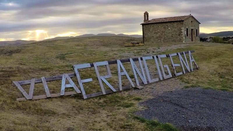
Via Francigena
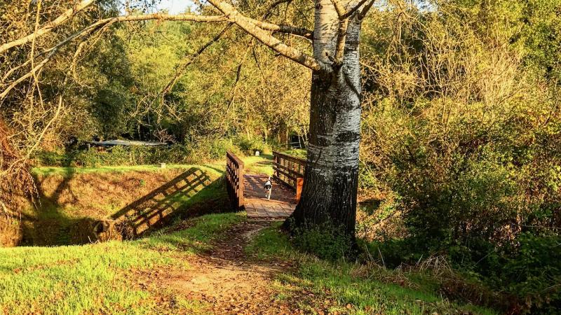
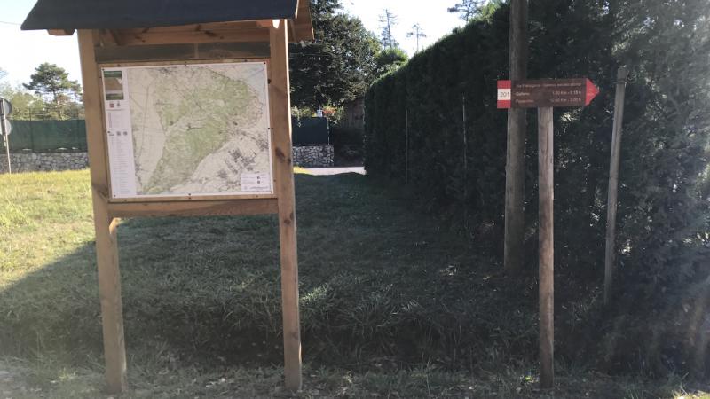
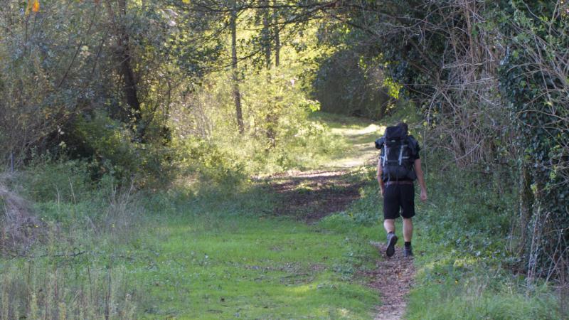
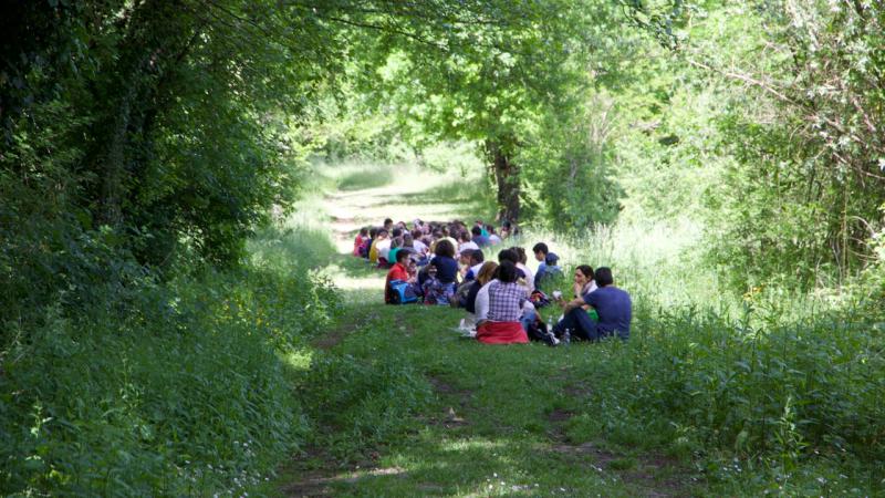
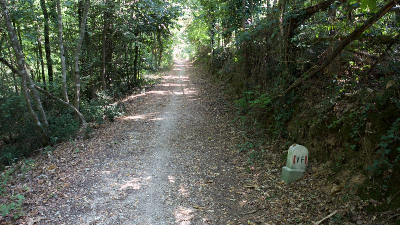
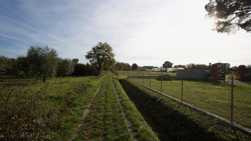
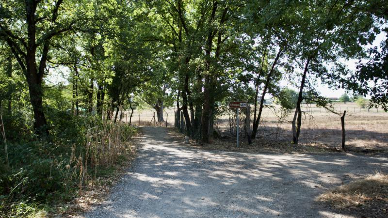
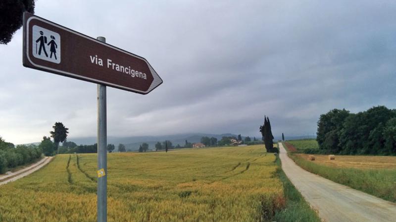
The Via Francigena in the municipality of Castelfranco di Sotto between Altopascio and Fucecchio
The historical and religious value of pilgrimages
In view of the dreaded year one thousand, droves of faithful Christians began to move from every part of Europe to reach Rome or to embark, in the ports of southern Italy (primarily Brindisi), on ships that carried in the Holy Land. The fear that the end of the millennium would bring with it the frightening universal epilogue of the Apocalypse and the need, even in this perspective, to seek a more direct relationship with the severe but merciful God of the medieval religious imagination pushed many citizens of the Old Continent to leave their homes to visit the sacred areas of the Christian faith. Among the anxieties and passions of a genuine popular religiosity was born, so, the Catholic practice of pilgrimage.
In the Middle Ages, going to Rome and other Holy Places meant facing a journey more or less long, but always challenging and very dangerous, to the point that, as is known, pilgrims often made a will before leaving. However, the pilgrimage represented above all a very important journey of faith - personal and collective at the same time - to get in touch with the Absolute. A "contact" that began on the concrete goals of the earthly journey (the relics, the basilicas of the Apostles, the burial of saints and martyrs) and that it was hoped could be concluded with the ineffable vision of God in the Afterlife. It was that "desire for God", which animated and sustained the pilgrim's journey, wonderfully sung by Petrarch in one of his famous sonnets:
"... and comes to Rome, following 'the desire,
to see the semblance of Him
Who still up there in heaven to see hope." ( Canzoniere , XVI)
The tradition of traveling to the places of worship of Christianity was consolidated in the years following 1000 AD. European Christians continued to set out to pray in the centers of Faith, driven by the desire to thank the Lord for the missed "End of Times" and by the desire to strengthen a renewed feeling of devotion and spirituality.
The faithful headed to Rome followed mainly the routes already traced by migrants and frequented by small traveling merchants. In this way, the pilgrimages enhanced communication routes often alternative to the great roads used by the armies and caravans of the lords and realized daily, in the concrete experience of a "journey of prayer" that flanked the small movements of indigenous workers, the intertwining of the spiritual-religious dimension and material-earth dimension that was one of the hallmarks of the entire medieval age.
The development of a fundamental road axis
Between the tenth and eleventh century, therefore, central and northern Italy became a very important crossroads for the "travelers of faith" from every part of the European continent. In particular, for pilgrims arriving from North-Western Europe (England, Flanders, France), soon went defining a precise route that started from the English city of Canterbury and crossed the vast French territory and then enter our country crossing the Alps at the Great St. Bernard or the pass of Mont Cenis. From here the route continued south, through the open but treacherous spaces of the fertile Po Valley.
After the junction of Pavia, descending towards the Apennines, the way followed by the pilgrims overlapped with the routes traced by the Lombards in the sixth century and consolidated in later years, the Franks. The first had created an innovative road channel to reach more safely their southern duchies (Spoleto and Benevento), avoiding the ancient Roman roads of Romagna and Liguria, more comfortable but controlled by the Byzantine enemies, as well as threatened by the abundant presence of criminals, the second had expanded and strengthened to make it a fundamental internal link between central Italy and France.
The Apennine ridge was thus overcome thanks to the pass of Mons Longobardorum, or rather Mount Bardone, between Berceto and Pontremoli: a passage that corresponded, in practice, to that of the current Cisa and that brought travelers from northern Italy between the valleys of Lunigiana and Sarzanese. Once they reached the maritime port of Luni, at the mouth of the Magra, always following the Lombard route, the road went back inland towards Lucca and from there continued to the Val d'Elsa and San Giminiano. After Siena, the pilgrims' path continued through Umbria and northern Lazio, using here, for the most part, the ancient and well-established roadways dating back to Roman times.
More precisely, in crossing the hills of the territory of Umbria and Viterbo (as was already the case even for short stretches in Lucca) the route of this road corresponded to the historical Via Cassia: For this reason, as well as for the final destination represented by the Eternal City, the Lombards called this path "Via Romana", an appellative then changed to "Romea" from the name of the pilgrims to Rome, said, in fact, "romei" (while the "iacopei" were the faithful who marched to Santiago de Compostela). However, in the maps of the time, this road is mainly indicated by the name of "Via Francigena", a term that underlined its origin from France and that, undoubtedly, remained more impressed in the popular tradition. So much so that, at the end of its long journey to the gates of Rome, even the city street that crossed the town of Urbe bringing pilgrims to the Vatican was called "ruga francisca", that is, "road of the French".
Treated by the Lombards, resumed by the Franks and enhanced by the massive movement of pilgrims from the tenth century AD, the Francigena soon became a very important communication route on the north-south axis: it will be responsible, for the entire medieval period, the task of connecting the Italian peninsula with the most politically and culturally vital centers of the European continent.
It should be noted, however, that it was not really "a" road, a unique and defined road route as we understand it today. The Francigena was, rather, a "road area", that is, a set of routes used at different times and sometimes with different functions, depending on the types of traffic and the political, topographical and climatic events of the various areas. Therefore, we could speak of "many" Francigena, to indicate the complex nature of a communication route that was formed by several road passages, but located along a precise route and converging at certain nodal points.
Roads - as we know - are like the "ideal embroidery" of the world, a connective tissue that makes it possible for people to meet and relate to each other. The road has always been an extraordinary metaphor for the life of man, considered as a pilgrim in the space of this earth and in the time of his life. Homo viator was the term with which the Middle Ages generically indicated the status of the individual in history.
The roads then - as a concrete physical place and as an existential metaphor - belong to what man has more usual and at the same time more necessary and essential.
In Europe, with the socio-economic and demographic revival that took place around the year 1000, the whole fabric of the roads, which had fallen apart with the fall of the Roman Empire, was slowly restored. The vast and complex network of paved stones that at the end of the 3rd century embraced all the lands of the Roman Empire (372 roads, for a total of 78,000 km at the time of Diocletian) was certainly not restored. Nevertheless, a large number of short and medium distance roads were restored thanks to the work of a plurality of subjects and institutions such as abbeys, civic communities, feudal lords, etc. .
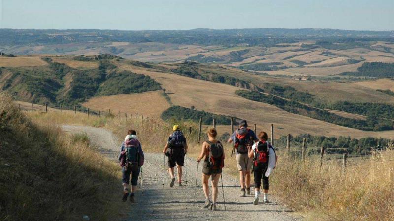
Among the many ways that returned to innervate the ancient districts of Europe - and that allowed pilgrims, merchants and adventurers in general to reach anywhere - soon assumed importance and prestige of the much-celebrated Via Francigena, a true international artery of the time.
This road - that a collective perception is not always correct has made us imagine as a sort of medieval highway - was actually a bundle of many small and slender tracks that starting from England and connecting between them led to Rome, then the landing place of one of the most popular pilgrimage routes, along with places like Tours and Vezèlay in France, Santiago de Compostela in Spain and Jerusalem in the Holy Land.
The years around 990-994 saw the passage of a bishop on the Francigena - Sigeric of Canterbury - moving from his episcopal see in England traveled on that ancient road to the city, recording stage by stage his journey in a diary that is now very valuable to identify and reconstruct the path (or paths) of this ancient artery.
Meanwhile, a clarification: the road was called Francigena by those who traveled in the north towards France, and was conversely called Romea by those who traveled in the opposite direction moving towards Rome.
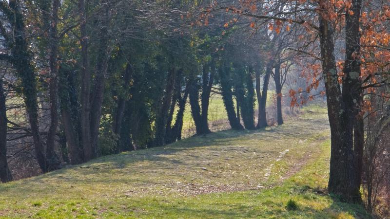
This route, after having crossed the Alps and entered the Italian peninsula, also entered Tuscany. And right in Tuscany, between Lucca and Siena, it had one of its most important stretches for the relief of the villages crossed and for the importance of the welfare structures encountered.
After Lucca and Altopascio, the pilgrims and travelers following the ancient route headed towards Fucecchio forwarding in the woods of Cerbaie, territory then very infamous because of the presence of gangs of "malandrini" and robbers. This was a territory that the public authorities of the time, no matter how many efforts they made, were never able to guard successfully. Repeated and continuous were the attacks on travelers, so that from a certain period onwards pilgrims to cross "the woods of Cerbaie" were provided with regular armed escort by the monks-knights of Tau, who had their main residence in Altopascio.
Continuing along its route, before reaching Ponte a Cappiano, the Via Francigena lapped the small village of Galleno, then called "Gallena" or also "Grassa Gallina".
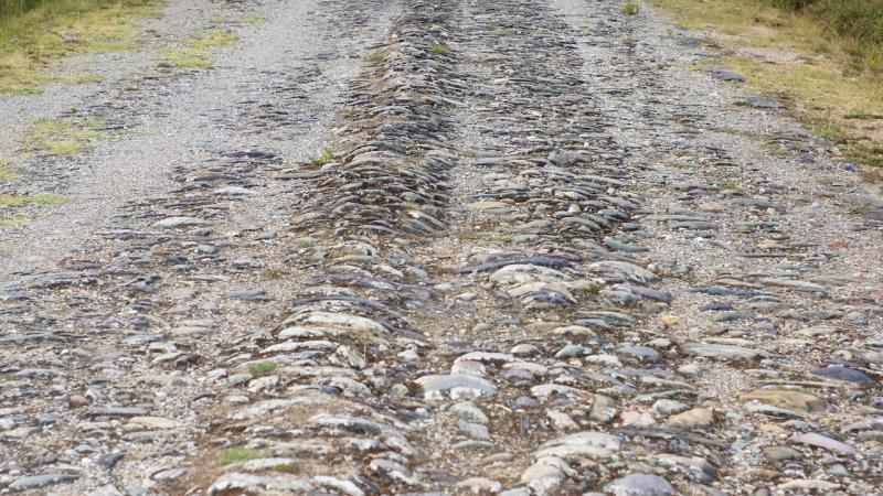
In this last locality, near the parish church of San Pietro, just to the west of today's Roman-Lucchese road, it is still visible and practicable for a few hundred meters a paving that archaeologists identify with the ancient route of "our" road.
In the Middle Ages in Galleno there was a Hospital dedicated to San Martino in Greppio, where even the King of France Philip Augustus stopped in 1190 on his way back from the third Crusade. In fact, the Hospital was originally a place where pilgrims and wayfarers were welcomed and sheltered ("ospitale").
Further south, continuing along the wooded path, we reached the place called Santa Trinita di Cerbaia, more commonly known as "Ospedaletto", of which unfortunately today only a toponym remains on maps. Therefore, it is still a place of shelter for wayfarers... this notation is not marginal, in fact, consider that in this stretch (only 15 km between Altopascio and the Arno) the Francigena was dotted at its edges by 10 places of shelter, a fact that underlines the absolute importance of this portion of the road in its Tuscan segment.
Even further down, the medieval route roughly followed the current border between the provinces of Florence and Pisa, reaching the locality of Poggio Adorno (formerly known as Rosaiolo), near which was located yet another hospital, the one known as the "malatia" of Querce. Then it descended in the direction of Ponte a Cappiano, where already around the year 1000 there was a bridge that allowed pilgrims to cross the Usciana (which Sigerico, in evident consideration of the state of its waters, recalls as aqua nigra).
After reaching Fucecchio, the ancient Francigena passed along the roads of the upper part of the castrum and then descended towards the Arno. And also for the Arno, the English prelate uses an interesting adjective: "Arne blanca", that is "Arno bianco" (white Arno) in evident and intentional opposition to the black water of the Usciana... really other times!
After crossing the Arno River and reaching the important settlement of San Ginesio, the Via Francigena wound its way through the Val d'Elsa to Siena and down to its destination: the seat of the apostles...Rome.
From the eternal city, horizons were open for new and more distant landings beyond the seas: Constantinople, the Holy Land, Jerusalem... .
But these are other stories and tell of other roads and other ways.